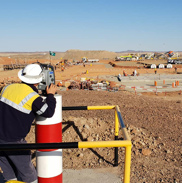


INTEGRATED GEOSPATIAL SOLUTION
HELPING CUSTOMERS SINCE 1998
From cadastral survey to Nation widemapping
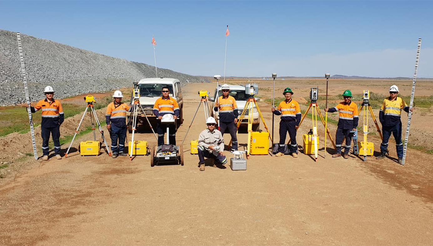
We are offering customers integrated solution: remote sensing service, high-tech software, consulting service and training.
Who we are
Using best technology by experts through best practice
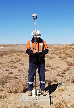
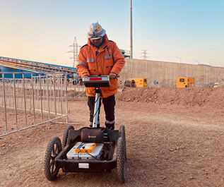
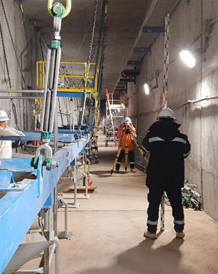
“GEOMASTER” LLC was established in January 1998 as an integrated professional high-tech geodetic and geophysical surveying and related service provider based on the most modern technologies.


WHY CHOOSE US
Our policies
ISO 9001:2015 Quality management
We are committed in providing consistent and ever improving geospatial and geophysical service in a timely manner by best professionals with reliable equipment in accordance with The International Quality and Management System standard ISO 9001:2015, and related regulations.
Business Ethics Policy
Implementing our business according to the law is our business ethics policy.
Social Responsibility
Our operation will not harm the the wellbeing of the society.

MOST RELIALBE CORS IN ULAANBAATAR
ULAA CORS Service
We’ve been offering commercial CORS (Continuously Operating Reference Station) service since 23rd of March 2016 by partnering with Unitel LLC. In order to simplify the process, the customer can obtain Data SIM card from our office and subscription will be active within 24 hours.
35'000 MNT
Monthly
Regular
Use as required
180'000 MNT
6 monthly
Advanced
No interruption
300'000 MNT
Yearly
Professional
Most cost effective
Testimonial
What Our Client Says

Bat-Erden T.
Director of Mongolian and Russian joint UBTZ shareholding committee

Orchlon E.
Executive Director of Clean Energy Asia LLC

Enkhtuvshin Yu.
General Director of Bayan Airag LLC
